Buller’s Heritage: Stories That Still Shape the Land
Heritage in Buller
Heritage in Buller isn’t held in one place. It’s layered through the landscape. Old tracks, river routes, buildings, and towns all carry traces of what came before. You don’t have to go looking too hard. It shows up in the shape of a street, the remains of a structure, or the way a place still feels connected to its past.
This is a region shaped by movement. Early Māori travelled these routes for food gathering and seasonal journeys, and later European settlers followed the same rivers and valleys during the gold rush era. What remains today is a mix of both. Some stories are visible, others sit more quietly in the background.
What You’ll Find in Buller
Buller’s heritage is spread across towns, landscapes, and access routes. It includes early Māori history, gold mining settlements, and the development of small communities that still exist today.
Around Westport, heritage is tied closely to the river and its role in transport and settlement. Inland, toward Reefton, gold mining history becomes more prominent, shaping both the town and the surrounding hills. South toward Punakaiki, heritage is less about buildings and more about how people have moved through and used the landscape. Further north, near Karamea, isolation has preserved elements of the past in a different way, with smaller communities and slower change over time.
What connects all of these places is a sense that history hasn’t been removed. It’s still part of the environment.
KARAMEA / KŌHAIHAI
- Karamea Centennial Museum
BULLER BAY / DENNISTON
- SS Lawrence Shipwreck
- Stockton mining history
- Denniston Plateau coal mine
- Coalbrookdale mining remains
- Banbury Arch
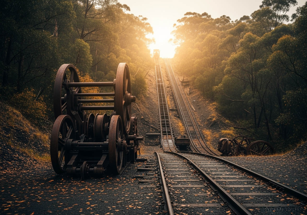
- Historic incline railway
- Millerton Bathhouse
- Northern Buller Museum
- Lyric Theatre
WESTPORT / CHARLESTON
- Museum of Kawatiri
- Whare Ngāhue archaeological site
- Charleston historic gold mining town
PUNAKAIKI / FOX RIVER
- Punangairi Visitor Experience Centre
REEFTON / INANGAHUA
- Gold mining & power heritage
- Waiuta ghost town & gold mine
- Blacks Point Museum
- Reefton Historic Power Centre
ALL AROUND BULLER
- Historic streets & preserved buildings
- Mining relics & heritage rail routes
- Historic cottages
- Early gold-rush settlements
Māori History and Early Pathways
Long before European settlement, the Buller region was part of important travel and resource routes for Māori. Rivers were used as pathways, and coastal areas provided food sources and seasonal gathering places.
While much of this history isn’t marked by large structures, it is still present in place names, natural routes, and the ongoing connection to the land. The Buller River, known as Kawatiri, carries this history with it, linking inland areas to the coast.
Understanding this layer of heritage often comes from taking the time to recognise how the landscape itself was used, rather than looking for specific sites.
Gold Mining and Settlement
The discovery of gold in the 1800s brought rapid change to Buller. Towns expanded quickly, and new routes were formed through bush and along rivers to access mining areas.
Reefton is one of the most well-known examples of this period. It became a centre for gold mining and was also the first town in the Southern Hemisphere to have a public electricity supply. Today, elements of that history remain visible in the town’s layout, buildings, and surrounding tracks.
Across the wider region, remnants of mining activity can still be found. Old water races, equipment, and access routes are often incorporated into walking and cycling tracks, allowing visitors to move through the same areas that were once actively worked.
Historic Towns and Buildings
Each town in Buller holds its own version of history. In Westport, heritage is tied to the river, shipping, and early industry. Buildings and street layouts reflect its role as a working town connected to the coast and inland routes.
Reefton has a more defined historic character, with preserved buildings and a strong connection to its gold mining past. Walking through the town gives a sense of how it developed and how much of that identity has been retained.
In smaller localities, including areas near Karamea, heritage is often quieter. It shows in community halls, older homes, and the way settlements are spaced across the landscape.
Tracks, Routes, and Movement
Many of the routes used today for walking and cycling began as access tracks for early travellers, miners, and settlers. These paths often followed the most practical lines through the landscape, along rivers, ridgelines, or natural clearings.
Riding or walking these tracks offers a different way to experience heritage. Rather than viewing it from a single point, you move through it, following the same general paths that shaped the region.
Inland areas around Reefton and routes connected to Westport provide good examples of this, where history and landscape are closely linked.
Who This Is For
Heritage in Buller suits visitors who are interested in understanding how a place has developed over time. It works well for those who enjoy exploring beyond surface-level experiences and noticing the details that connect past and present.
It’s accessible to a wide range of travellers. Some may prefer visiting towns and historic sites, while others will experience heritage more indirectly through walks, cycling, or time spent in the landscape.
Local Insight
Heritage here isn’t always signposted in obvious ways. Some of the most interesting details are found by slowing down and paying attention to what’s around you.
Talking to locals, visiting information centres, or taking time to explore smaller streets and less obvious tracks can reveal parts of the region’s history that aren’t immediately visible.
The connection between landscape and history is strong, so understanding one often helps you see the other more clearly.
Practical Information
Many heritage sites and areas in Buller are freely accessible, particularly those integrated into towns, walking tracks, and public spaces.
Local information centres can provide context, maps, and recommendations for places of interest. In Westport, Punakaiki, Karamea, and Reefton, they are a useful starting point for understanding what’s nearby and how different sites connect.
Facilities are generally available in the main towns, while more remote heritage locations may require some planning to access.
Nearby Connections
Heritage in Buller connects naturally with other experiences in the region. Many walking and cycling tracks follow historic routes, while rivers and coastal areas reflect how people have moved through the landscape over time.
Exploring heritage often leads into other parts of the region, whether that’s inland routes near Reefton, coastal areas around Punakaiki, or northern landscapes near Karamea.
It becomes less about visiting a single place and more about understanding how the region fits together.