Rivers of Buller: Where the current leads the way
Rivers in Buller
Rivers shape Buller in a way that’s hard to ignore. They cut through the landscape, move quickly after rain, and carry a constant sense of energy through the region. You see them from the road, cross them on bridges, and often find yourself drawn back to them without planning to.
Spending time around the rivers here isn’t always about getting in the water. It’s just as much about being alongside them, watching how they move, and finding those edges where forest, rock, and water meet.
What You’ll Find in Buller
Buller’s river systems range from large, powerful waterways to smaller, more sheltered sections that feel slower and more contained. The Buller River / Kawatiri is the most dominant, running through much of the region and setting the tone for everything around it.
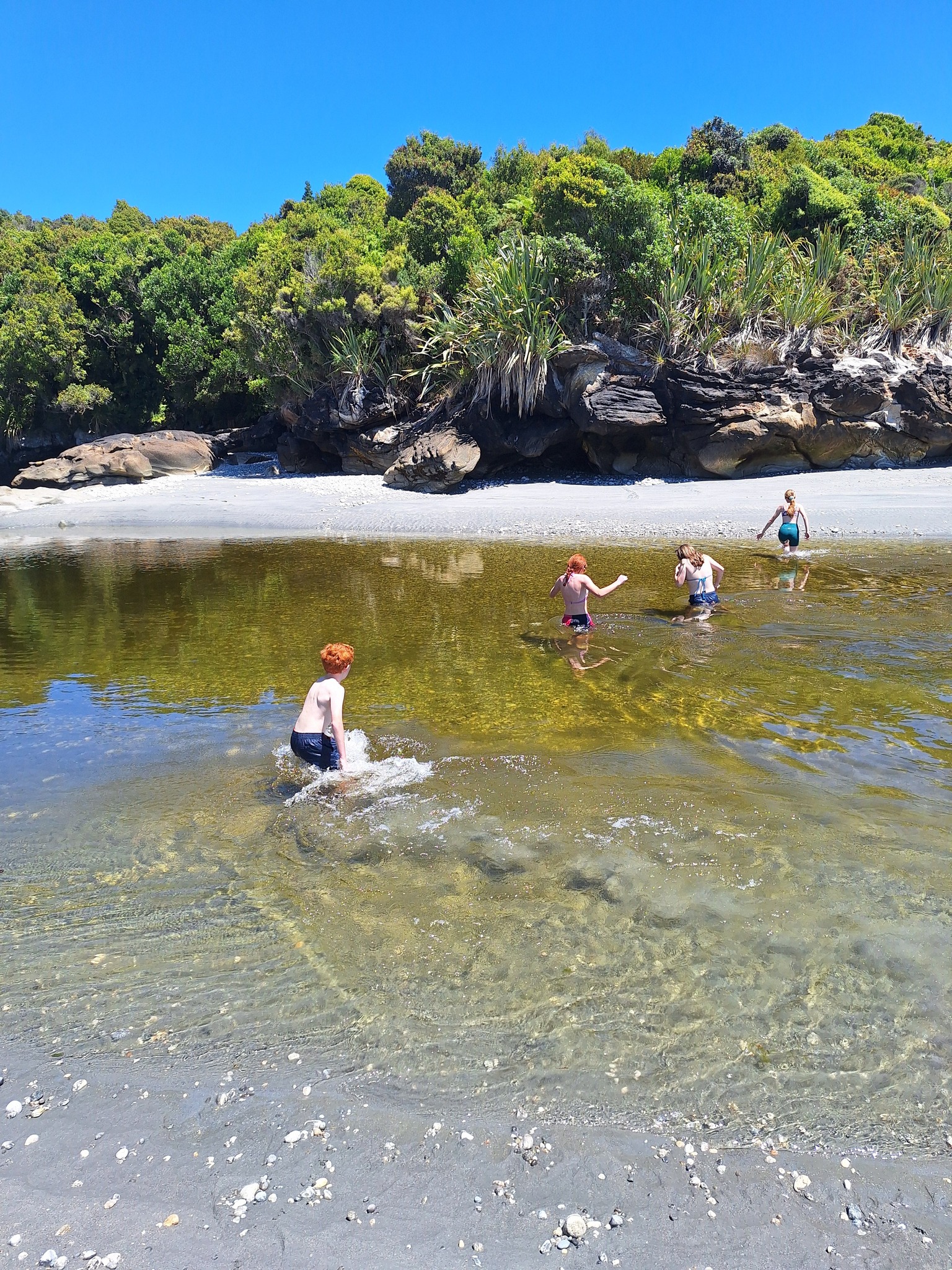
Near Westport, the river widens as it approaches the sea, creating broad, open sections that are easy to access. Inland, toward Reefton, the river narrows and moves through more confined spaces, with faster currents and deeper channels. Further north, near Karamea, smaller rivers and tributaries weave through dense bush and remote valleys. Around Punakaiki, shorter rivers meet the sea more quickly, creating a different kind of interaction between freshwater and the coastline.
There’s a constant variation here, and that’s what makes spending time around Buller’s rivers feel different from one place to the next. Our list is but a few of the amazing rivers, creeks and gorges in Buller. There are all kinds of activities you can experience on these amazing river systems.
- Heaphy River
- Kōhaihai Rover
- Ōparara River
- Karamea River
- Little Wanganui River
- Mōkihinui River
- Charming Creek
- Ngākawau River
- Buller River
- Tōtara River
- Nile River
- Fox River
- Pororari River
- Punakaiki River
- Inangahua River
- Waitahu River
- Grey River
- Maruia River
The Buller River / Kawatiri
The Buller River is one of the largest rivers in New Zealand, and it carries a presence that’s felt across the region. It’s fast moving, often changing in colour depending on recent rainfall, and always shifting slightly in form.
Access points along the river are common, particularly around Westport and inland toward Reefton. These spots allow visitors to get close to the water, whether that’s for a short stop, a longer stay, or as part of a guided activity.
Jet boating and rafting operate on sections of the river, offering a more active way to experience its scale and movement. For those who prefer to stay on land, simply walking along the riverbanks or sitting near the edge provides a clear sense of how powerful and changeable it is.
Slower Water and Calm Sections
While much of Buller’s river system is fast flowing, there are sections where the water slows and spreads out, creating calmer areas that are more suited to relaxed exploration.
These quieter stretches are often found away from the main flow or along smaller rivers and tributaries. Here, canoeing and kayaking become more accessible, allowing you to move at your own pace and spend time in the landscape rather than moving through it quickly.
These areas also tend to attract birdlife, and the surrounding bush often feels closer and more enclosed, creating a different atmosphere from the wider, more exposed sections of the main river.
River Edges and Everyday Access
One of the strengths of Buller’s rivers is how accessible they are. You don’t need to plan a full activity to experience them. Many roadside stops, bridges, and short tracks lead directly to the water’s edge.
Around Westport, it’s easy to find places where you can pull over and spend time by the river, even if it’s just for a short break. Inland routes toward Reefton offer similar opportunities, often with fewer people and a stronger sense of space.
These simple moments, standing near the water or following a short track to the riverbank, are often what visitors remember most.
Remote Rivers and Northern Valleys
Further north, near Karamea, rivers begin to feel more remote. Access can involve longer drives or short walks, but the setting becomes more untouched.
In these areas, the water tends to run clearer, and the surrounding landscape feels less shaped by infrastructure. River valleys open up into spaces where you can spend time without seeing many others, especially outside peak travel periods.
This part of Buller offers a quieter kind of experience, not in terms of sound, but in how removed it feels from busier areas.
Who This Is For
Rivers in Buller appeal to a wide range of visitors. Some will be drawn to the more active experiences like rafting or jet boating, while others will simply want to spend time near the water.
It suits travellers who enjoy being outdoors and are comfortable around natural environments that aren’t overly controlled. Families, couples, and solo travellers can all find ways to engage with the rivers, whether that’s through short stops, longer walks, or guided activities.
Local Insight
Rivers here respond quickly to weather. Rain inland can change water levels and flow within hours, and conditions can look very different from one day to the next.
It’s worth taking time to observe before heading closer to the water. What looks calm from a distance may still be moving with force, and river edges can shift.
Locals tend to keep an eye on conditions and adjust their plans accordingly, rather than treating the river as predictable.
Practical Information
Access to rivers is generally easy across Buller, but safety should always be considered. Fast currents, changing water levels, and cold temperatures are all factors to be aware of.
Local information centres can provide guidance on current conditions, safe access points, and suitable activities. In places like Westport, Punakaiki, Karamea, and Reefton, they are a good place to check in before heading out, especially after rain.
Facilities are available in the main towns, but more remote river access points may have limited services. Taking basic precautions, including appropriate footwear and awareness of the environment, will help ensure a safer experience.
Nearby Connections
Rivers in Buller connect naturally with other parts of the region. Many walking tracks follow river edges or lead to them, while cycling routes often run alongside waterways for sections of the journey.
Inland areas near Reefton combine river access with forest exploration, while northern routes toward Karamea open into more remote landscapes. Closer to the coast, rivers eventually meet the sea near Westport and Punakaiki, linking these experiences back to the coastline.
However you come across them, rivers tend to draw you in and shape how you move through Buller.