Walking in Buller: Slow Down and See More
Walks in Buller
Walking in Buller is one of the easiest ways to understand the place. You don’t need to go far or commit to a full day to feel it. Tracks begin just off the roadside, slip quickly into native bush, or follow the edge of rivers and coastline where the landscape feels close and immediate. It’s not about ticking off distances. It’s about being in it, even for a short time.
Across the region, walks range from short, well-formed tracks to longer routes that take you deeper into forest, along ridgelines, or out to more exposed coastal sections. Whether you’re stopping in for a quick break or building your day around it, walking gives you access to parts of Buller you simply won’t see from the road.
What You’ll Find in Buller
Buller offers a wide range of walking experiences, and most are easy to access. Many tracks are maintained to a good standard, making them suitable for a mix of visitors, including families and casual walkers. At the same time, there are options for those wanting something longer or more immersive.
Around Westport, you’ll find coastal walks and bush tracks that are close to town but still feel connected to the wider landscape. Head south toward Punakaiki and the tracks begin to follow the coastline more closely, moving through limestone formations and dense forest. Further north, near Karamea, the environment becomes more remote, with access to unique features like limestone arches and river valley tracks. Inland, around Reefton, walking takes on a different feel again, with forested hills, historic routes, and quieter backcountry paths.
What makes walking in Buller stand out is the variety within a relatively small area. You can move from coast to forest to river in a single day, with each environment offering something distinct.
KARAMEA / KŌHAIHAI
- Heaphy Track
- Nikau Walk
- Honeycomb Hills Cave Track
- Ōparara Arch Track
- Ōparara Valley Track
- Moira Gate Track
- Mirror Tarn Loop
- Fennian Track
- Adams Flat Track
- Big Rimu Track
- Lake Hanlon Walk
BULLER BAY / DENNISTON
- Gentle Annie beach & tracks
- The Old Ghost Road
- Britannia Track
- Brakehead Walk
- Bridle Track
- Coalbrookdale Walk
- Myra’s Track
- Charming Creek Walkway
- Millerton Bathhouse Track
- Chasm Creek & Glowworm Tunnel Walk
WESTPORT / CHARLESTON
- Kawatiri (North) Beach Track
- Lost Lagoon Loop
- Kawatiri Coastal Trail
- Cape Foulwind Seal Colony Walk
- Cape Foulwind Lighthouse
- Charleston Constant Bay Loop
- Tiropahi Track
- Bucklands Peak Track
PUNAKAIKI / FOX RIVER
- Fox River Cave Track
- Ballroom Overhang
- Truman Track
- Inland Pack Track
- Cave Creek Memorial Track
- Paparoa Track
- Pororari River Track
- Pancake Rocks & Blowholes Walk
REEFTON / INANGAHUA
- Reefton Historic Walk
- Golden Fleece Walk
- Konini Pack Track
- Pipeline Track
- Murray Creek Track
- Globe Hill Track
- Powerhouse Walk
- Larrys Creek Track
- Tamatahia Te Whenua Track
- Union Creek Track
- Fossickers Lake Track
- Alborns Walk
- Lyell Walkway to Croesus Battery
- Waiuta – Big River – Golden Lead Battery
MARUIA / SPRINGS JUNCTION
- Lake Daniel Track
- Maruia Falls Track
Coastal Walks and Open Edges
The coastline is one of the most accessible places to walk, particularly around Punakaiki. Tracks here are often well-formed and relatively short, but the landscape does most of the work. The Pancake Rocks and blowholes are a well-known stop, and for good reason, but there are also nearby tracks that take you slightly away from the main viewing areas and into stretches of bush and coastline that feel less structured.
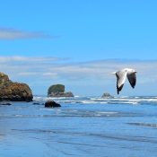
Closer to Westport, coastal tracks and beach access points allow for longer, more open walks. These areas are shaped by tide and weather, so no two visits feel the same. Driftwood lines the shore, and the ocean is rarely still, giving these walks a sense of movement even when you’re standing still.
Forest Tracks and Inland Walks
Move inland and the landscape closes in. Tracks around Reefton and surrounding areas take you into dense native forest, where the light filters through the canopy and the pace naturally slows.
Many of these walks follow old mining routes or historic paths, adding another layer to the experience. Some are short and accessible, while others extend further into the hills and require more time and preparation. The terrain can be uneven, and conditions can change quickly, especially after rain, but that’s part of what keeps these tracks feeling real and less managed.
Limestone Landscapes and Unique Formations
One of the more distinctive walking experiences in Buller is found near Karamea, in the Oparara Basin. Here, the tracks lead through rainforest to large limestone arches and formations that feel completely different from the rest of the region.
The walk to the Oparara Arch is one of the more accessible options, following the river through dense bush before opening out to the arch itself. Nearby, the Moria Gate Arch offers a similar experience on a slightly different scale. These tracks are relatively short, but the setting makes them feel more significant.
This part of Buller tends to feel more remote, and the journey to get there is part of the experience. It’s worth allowing time, rather than treating it as a quick stop.
Short Walks That Still Deliver
One of the strengths of walking in Buller is how much you can experience without committing to long distances. Many tracks are under an hour return, but still lead to something worthwhile, whether that’s a viewpoint, a river edge, or a unique natural feature.
This makes it easy to build walking into your day, even if it’s just a stop between destinations. It also means visitors of all fitness levels can access the landscape in a meaningful way, without needing specialised gear or planning.
Who This Is For
Walking in Buller suits almost everyone. It works for travellers looking to break up a drive, families wanting accessible outdoor experiences, and those who prefer to explore at their own pace.
You don’t need to be highly experienced, but being comfortable on uneven ground and prepared for changing conditions will make the experience more enjoyable. For those wanting longer or more challenging walks, there are options available, but much of Buller’s appeal lies in its shorter, more approachable tracks.
Local Insight
Tracks here are shaped by the environment, and conditions can shift quickly. Rain can change track surfaces, rivers can rise, and coastal areas can feel very different depending on the tide.
The best approach is to allow time and stay flexible. A short walk can easily turn into something more if the conditions are right, or it might be better to keep it brief and move on to another spot.
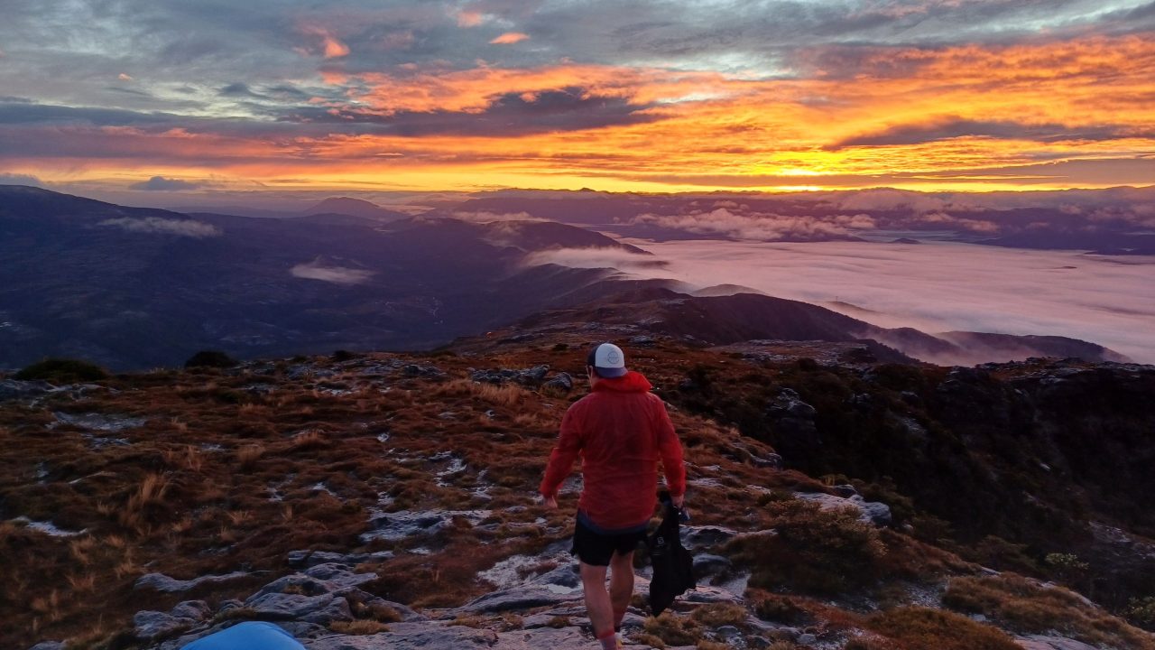
Early mornings and later in the day often offer a different experience again, with fewer people and softer light through the bush or along the coast.
Practical Information
Most walks in Buller are signposted and maintained, but it’s still important to check conditions before heading out, particularly after periods of rain.
Local information centres can provide up-to-date advice on track access, closures, and current conditions. In places like Westport, Punakaiki, Karamea, and Reefton, they are a useful first stop, especially if you are deciding what to do on the day.
Facilities such as parking areas and toilets are available at many of the more popular track entrances, but can be limited in more remote areas. Good footwear, a basic layer, and awareness of the weather will go a long way.
Nearby Connections
Walking naturally connects with other experiences across Buller. Coastal tracks link easily with scenic stops and wildlife viewing, particularly around Punakaiki. Inland walks can lead into cycling routes or historic areas near Reefton, while northern tracks around Karamea open up into more remote exploration.
Wherever you start, walking tends to lead you further into the region, often to places you hadn’t planned to stop.